Partners
CERN
European Organization for Nuclear research, SwitzerlandCERN, the European Organization for Nuclear Research, is funded by 20 European member states and has a yearly budget of approximately 1000 MCHF. CERN has 2600 permanent staff coming from the 20 member states. CERN is currently constructing a new particle accelerator on the Swiss-French border near Geneva. The Large Hadron Collider (LHC) will be the world’s most powerful accelerator providing research facilities for several thousand High Energy Physics (HEP) researchers from all over the world. The LHC start up is planned for 2008. Four LHC experiments designed and constructed by large international collaborations (each with up to 2000 scientists and engineers coming from more than 250 institutes) will collect data over the next 10 years. These experiments will generate in the order of 15 Petabytes per year, to be shared with all the participating scientists looking for discoveries to understand the fundamental laws of nature. The computing capacity required to analyse the data far exceeds the capacity needs of any comparable physics experiments today and needs the combined resources of some 200 computer centres world-wide. CERN has chosen Grid technology to address the huge data storage and analysis challenge of LHC. CERN, “where the Web was born”, has been at the forefront of computing for many years and now leads the world’s largest Grid project “Enabling Grids for E-SciencE (EGEE)”. CERN also has a long tradition of collaborating with IT industry, including via EU-supported research programmes. The IT Department currently has 280 staff, predominantly engineers, who operate one of Europe’s largest Computer Centres supporting over 10,000 users. CERN has prominently contributed to a number of EGEE-related grid projects aiming at extending the EGEE production grid infrastructure to n ew geographical areas, to serve new applications domains and to support the Grid community: BalticGrid-II, D4Science, EGI_DS, enviroGRIDS, ETICS 2, GridTalk, Health-e-Child and SEE-GRID-SCI.
The project will essentially be implemented by:
Role in the project:The main task of CERN is to lead the task 2.5 on the “Gridification of Applications”, especially SWAT. CERN will also make available its experience on the EGEE to help EnviroGRIDS establish its Virtual Organisation on the EGEE. CERN is also involved in task 2.2 on data storage and interoperability standards.
|
EAWAGSwiss Federal Institute of Aquatic Science and Technology Eawag is a Swiss-based and internationally-linked aquatic research institute committed to an ecological, economical and socially responsible management of water – the primary source of all life. It carries out research, teaching and consulting and forms a link between science and practical application. Multidisciplinary teams of specialists in the fields of Environmental Engineering, Natural and Social Sciences jointly develop solutions to environmental problems. The acquired knowledge and know-how is transmitted nationally and internationally by publications, lectures, teaching, and consulting to the private and public sector. 400 employees are active at the locations in Dübendorf (near Zurich) and Kastanienbaum (near Lucerne). Eawag was founded in 1936 as an information centre for wastewater treatment of the ETH Zurich. It is a Swiss Federal Research Institute which is part of the ETH-Domain. The project will essentially be implemented by:
Role in the project:Eawag is the leader of WP4 (Black Sea Hydrological Model) and will hence be responsible for the development of a catchment hydrological model. Eawag will develop a detailed watershed-scale hydrologic model of the Black Sea region. This model will allow analysis of the impact of landuse and climate change on water resources and water quality. Eawag will also be responsible for developing system analysis techniques for calibration, validation, sensitivity, and uncertainty analysis of the hydrologic model. in Work package 5.3, Eawag will be responsible for the integrated assessment of environmental impacts on agricultural production in the Black Sea catchment. Eawag will lead the work on modeling agri-environmental issues with the GIS-based EPIC model (GEPIC). In 5.7, Eawag will also be involved in the assessment of sustainability and vulnerability. GeoGraphic
Geographic GIS&RS Consulting CenterThe Geoinformation Systems and Remote Sensing Consulting Centre (GeoGraphic) was founded in 1998. GeoGraphic is devoted to create and deliver corporative and specialized software, flexible data management technologies, reliable and high quality cartographic production. GeoGraphic makes every effort to meet practical needs of its clients. It uses geographic information systems and improved data management tools to help with better decisions making. Since 2002 GeoGraphic has been offering its customers a wide range of services in geoinformation systems formation, geodatabase management, GIS projects implementation, sectoral systems and user-oriented software development. During the short period of its activities GeoGraphic has served its clients by carrying out expert researches and evaluations, spatial modeling and improving decision-making process. Since 2004 GeoGraphic has been expanding area of its activities offering a wide spectrum of services – from topo-geodetic survey to management systems development. GeoGraphic operates in almost all fields: environmental protection, natural resources management, urban development and architect, transport and communications, infrastructure, real estate market, education, cultural heritage, municipal management, emergency situations, defence and security, health care and social issues – these are directions where Geographic has achieved significant results demonstrating efficiency of GIS technologies application. Expertise gained by GeoGraphic over the years includes: Spatial Data Processing and Spatial Analysis; Aerial Photography and Satellite Image Processing Information Technologies Development; Corporate Geoinformation Systems; Expert Systems Development; Photogrammetry and Orthophoto Production; Customized Software Development; Management Information Systems; Environmental Survey and Analysis; Geomonitoring Survey; High-End Cartographic Production; Topogeodetic and Cadastral Works; Land Use Planning; Urban Development; ESRI and Leica Geosystems Software Distribution, Training and Certification.
The project will essentially be implemented by:
Role in the project:As a part of WP2, task 2.4 – Remote Sensing Data GeoGraphic will contribute to remote sensing data collection, data integration into the Grid architecture and redistribution to all partners to provide information about the project area and continuous data on the changes driven in the area. GeoGraphic will support to remote sensing analyses, monitoring changes and trends in the Black Sea region/watershed (e.g. land use, deforestation, water quality). This will result in proposing early warning management systems, monitoring and control. GeoGraphic will apply remote sensing technologies for remote data observation and interpretation, correction of images and their registration at the UTM coordinate system, etc. UNESCO/IHE
Institute for Water Education (UNESCO/IHE)UNESCO-IHE is a world-leading education and research institute running Master of Science and PhD programmes. During its 50 years of history more than 13400 professional beneficiaries from more than 80 countries have been trained at IHE in water, environment and transportation. UNESCO-IHE has been involved in the following European projects: POND-LIVE, PAISA , ECOTOOLS and Fingerponds. The project will essentially be implemented by:
Role in the project:The expertise of the UNESCO-IHE research team is in river basin modelling for management and in integration of hydrological and hydraulic models and data in decision support systems distributed over electronic networks. Particular focus is on distributed catchment modelling with SWAT, model integration using OpenMI, and development of web- and mobile phone–based decision support and impact assessment applications. UAB
University of Barcelona/European Topic Centre Land Use and Spatial Information supported by the European Environment Agency (EEA)The UAB ETC/SIA is an international consortium contracted by and assisting the European Environment Agency (EEA) in delivering information on the state and trends of the environment through the provision of timely, targeted, relevant and reliable information to policy-making agents and the public. The consortium is leaded by the Universidad de Málaga since January 2011. Main international research activities
Besides that, UAB ETC/SIA is partners in several European projects under the framework of FP6 and FP7. Colleagues are also involved and members of several national working groups like Spanish SDI or UNSDI (United Nations SDI). The project will essentially be implemented by:
Role in the project:UAB is involved in WP3 on scenarios of change. |


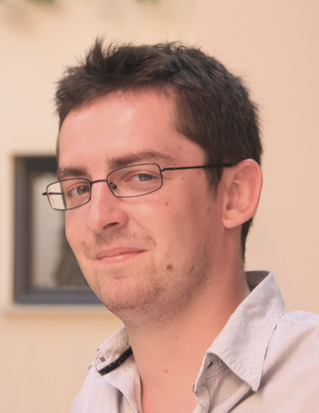
 Lukasz Kokoszkiewicz is a computer scientist working at CERN. He has studied at Cracow University of technology in Cracow, Poland. His main specialization is web development and web interfaces. For 8 months he worked on Gridmap applications. In enviroGrids, he is working on the gridification of SWAT.
  Dr. Karim Abbaspour is a soil scientist and hydrologist. He has studied at UBC in Vancouver, Canada, and ETHZ in Switzerland. He has been working at the Eawag, Swiss Federal Institute of Aquatic Science and Technology since 2000. His main specialization is in application of flow and transport models at small and large scales. He is also working on methods of model calibration, validation, and uncertainty analysis. He is the leader of WP4 in the EnviroGrid project and responsible for development of a hydrologic model of the Black Sea Basin.
 Elham Rouholahnejad is a PhD student in Environmental science at ETH university of Switzerland working at EAWAG, Swiss Federal Institute of Aquatic Science. She had studied Civil Engineering as her bachelor and Environmental Engineering as a master. She is continuing her study as a PhD working on WP4 of EnviroGrids project to predict a hydrological model for Blacksea catchment.
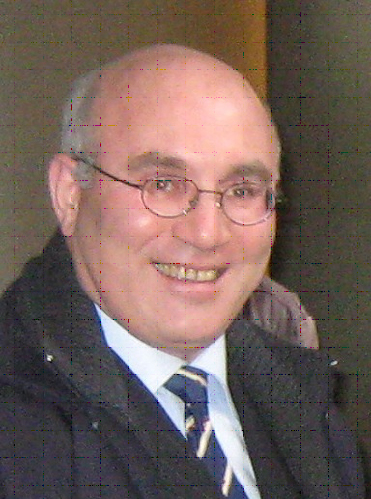
 Mamuka Gvilava is engaged by the GIS and RS Consulting Center "GeoGraphic", Georgia, as the Task Manager responsible for GeoGraphic’s contribution into the EnviroGRIDS Project. He is specialized in a wide range of environmental subjects with more than 10 years of experience gained with cooperative projects in Georgia and in the Black Sea region. Physicist with education and science degree, expanded his field of activities to environmental and social subjects, such as integrated coastal management, environmental informatics (GIS & RS, with particular experience in setting up the coastal monitoring and information systems for Georgia), environmental and social impact assessment, as well as the application of green design and development methodologies. He combines his practical hands-on experience in environmental management and research with wider scope of policy advice serving the Ministry of Environment as the National Focal Point on Integrated Coastal Zone Management (ICZM) and the Georgian Member of the ICZM Advisory Group to the Black Sea Commission. Mamuka Gvilava is based in Tbilisi, Georgia, and is employed by "GeoGraphic" to lead its EnviroGRIDS team in implementing WP2 (Task 2.4) and WP7.
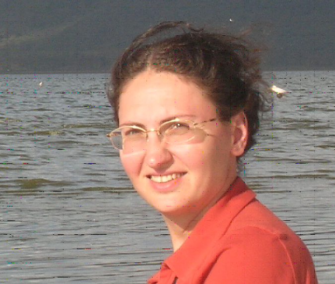
  Tamar Bakuradze represents GIS & RS Consulting Centre "GeoGraphic", Georgia, in the EnviroGRIDS project. She is GIS & Remote Sensing Specialist with the background and experience in addressing environmental and integrated coastal zone management (ICZM) issues. She specialized during her career in analyzing spatial data for environment protection and natural resources management. Geographer with academic background, she is mastered in the application of Cartography/GIS/RS for environment & land management. She was involved in several environmental projects: designing and implementing the environmental quality monitoring and information system for Georgia’s coastal zone; generating the State of the Environment (SoE) reporting for national decision-makers and the wider public. In parallel to project work she is serving as the Secretary of the ICZM Working Group for Georgia. With the EnviroGRIDS project, she will be especially involved in WP2 (task 2.4) and WP7 as the Remote Sensing Analyst and in the capacity of the Assistant to the Task Manager. Tamar was proposed and accepted at the 1st Meeting of the Project General Assembly as the member of the EnviroGRIDS’s Gender Committee.


